Kickapoo Valley Reserve
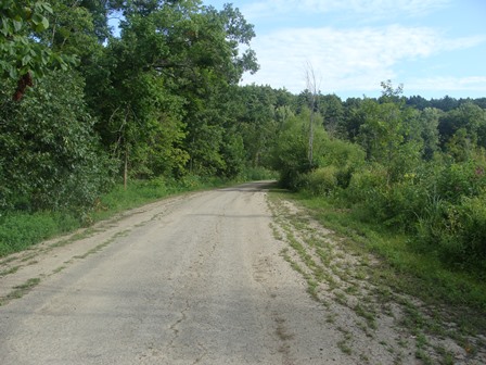
This land has come full circle. For thousands of years, Native Americans lived here. While they left hundreds of archaeological sites, they changed the land very little. As settlers occupied the valley, they cut down the trees, plowing the land and yoking the Kickapoo River for milling. Their numbers multiplied so much that the river’s periodic flooding become a problem. In the 1962 Flood Control Act, Congress authorized the U. S. Army Corps of Engineers to build a flood control dam—the La Farge Lake Project. The Corps bought the land (8,569 acres), removed the houses and buildings, and began erecting a large, earthen dam across the valley floor. Overtaken by the economic and environmental concerns of the late 1960s and 1970s, the dam project stopped in 1975. The dam lay 39 percent complete. A five-story control tower stood on the valley floor and the Corps had spent approximately $18 million. Over the next 20 years, nature gradually reclaimed the La Farge project area. Trees covered the valley, which the Corps had cleared for a 1,780-acre, 12-mile long reservoir. The dam looked more and more like one of the natural bluffs. |
|
|
 In the 1996 Water Resources Development Act, Congress completed the circle. It directed the Corps to return up to 1,200 acres to the former Native American inhabitants—the Ho-Chunk Nation—and the rest to the State of Wisconsin. The Kickapoo Reserve Management Board now oversees the state’s portion. Preserving the land’s return to nature, the 1996 act directs the Ho-Chunk and the State to manage the Kickapoo Valley Reserve for low-impact tourism and education. Lying between Wildcat Mountain State Park on the north and La Farge on the south, the Kickapoo Valley Reserve comprises 8,589 acres in Vernon County, Wisconsin. The Kickapoo River begins in Monroe County and flows south and southwest through Vernon, Richland, and Crawford Counties. As it snakes through the Reserve, the Kickapoo River is bounded by high scenic hills, bluffs, and rock outcroppings that sometimes stand several hundred feet from the valley floor. Named after the Kickapoo Indian Tribe, the river empties into the Wisconsin River near Wauzeka, Wisconsin. |
|
|
|